Pineham Copse, Haywards Heath
Introduction
The photograph on this page of Pineham Copse, Haywards Heath by Simon Carey as part of the Geograph project.
The Geograph project started in 2005 with the aim of publishing, organising and preserving representative images for every square kilometre of Great Britain, Ireland and the Isle of Man.

There are currently over 7.5m images from over 14,400 individuals and you can help contribute to the project by visiting https://www.geograph.org.uk
Pineham Copse, Haywards Heath
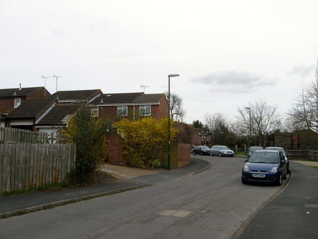
Image: © Simon Carey Taken: 30 Mar 2015
A cul de sac of St Augustine's Way. Marked as Red Lion Wood on Cuckfield's 1843 tithe map, it was designated part of Petland Wood by the 1874 OS map and survived up until the end of the 1970s as part of the extensive grounds belonging to the Priory.
Images are licensed for reuse under creativecommons.org/licenses/by-sa/2.0
Image Location
Latitude
50.997276
Longitude
-0.097083