New housing, Westwood Heath Road
Introduction
The photograph on this page of New housing, Westwood Heath Road by David Stowell as part of the Geograph project.
The Geograph project started in 2005 with the aim of publishing, organising and preserving representative images for every square kilometre of Great Britain, Ireland and the Isle of Man.

There are currently over 7.5m images from over 14,400 individuals and you can help contribute to the project by visiting https://www.geograph.org.uk
New housing, Westwood Heath Road
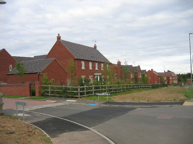
Image: © David Stowell Taken: 27 Aug 2005
The roadnames in this new development adjacent to Westwood Heath Road seem to be themed on pre-decimalisation currency. This is Farthing Drive (£0.006)
Images are licensed for reuse under creativecommons.org/licenses/by-sa/2.0
Image Location


Leaflet Map data © OpenStreetMap
Latitude
52.386728
Longitude
-1.592957