Brook Lane
Introduction
The photograph on this page of Brook Lane by Alan Walker as part of the Geograph project.
The Geograph project started in 2005 with the aim of publishing, organising and preserving representative images for every square kilometre of Great Britain, Ireland and the Isle of Man.

There are currently over 7.5m images from over 14,400 individuals and you can help contribute to the project by visiting https://www.geograph.org.uk
Brook Lane
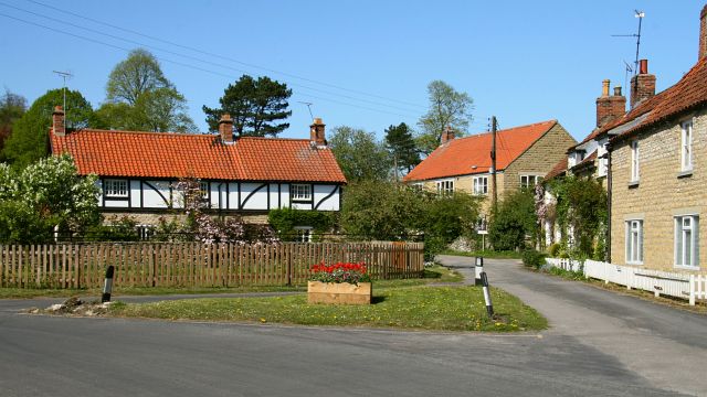
Image: © Alan Walker Taken: 1 May 2007
Brook Lane (in the foreground) is ‘┐shaped’ with the ‘long, horizontal arm’ connecting to Image and the ‘short, vertical arm’ connecting to Image This north north-easterly photograph is looking across the ‘corner of the two arms’ toward a group of cottages Image The roadway in front of the houses is public but becomes private after a short distance. However both sections carry a public footpath that connects this viewpoint with Image (ahead). Behind the viewpoint Image continues toward Chestnut Avenue.
Images are licensed for reuse under creativecommons.org/licenses/by-sa/2.0
Image Location


Leaflet Map data © OpenStreetMap
Latitude
54.237598
Longitude
-0.719124