Field, Mains of Camno
Introduction
The photograph on this page of Field, Mains of Camno by Richard Webb as part of the Geograph project.
The Geograph project started in 2005 with the aim of publishing, organising and preserving representative images for every square kilometre of Great Britain, Ireland and the Isle of Man.

There are currently over 7.5m images from over 14,400 individuals and you can help contribute to the project by visiting https://www.geograph.org.uk
Field, Mains of Camno
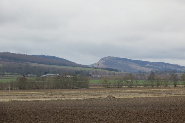
Image: © Richard Webb Taken: 29 Mar 2015
Strathmore arable land. Met some anxious locals here who thought I was lost. There is a good view of the Sidlaws.
Images are licensed for reuse under creativecommons.org/licenses/by-sa/2.0
Image Location
Latitude
56.572939
Longitude
-3.174417