Information board, Kilbarchan
Introduction
The photograph on this page of Information board, Kilbarchan by Richard Webb as part of the Geograph project.
The Geograph project started in 2005 with the aim of publishing, organising and preserving representative images for every square kilometre of Great Britain, Ireland and the Isle of Man.

There are currently over 7.5m images from over 14,400 individuals and you can help contribute to the project by visiting https://www.geograph.org.uk
Information board, Kilbarchan
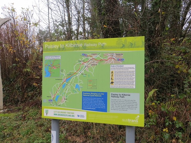
Image: © Richard Webb Taken: 15 Nov 2014
A new information board for the rails to trails route on the Kilbarchan Loop.
Images are licensed for reuse under creativecommons.org/licenses/by-sa/2.0
Image Location
Latitude
55.833204
Longitude
-4.54187