Newtyle and Coupar Angus Railway
Introduction
The photograph on this page of Newtyle and Coupar Angus Railway by Richard Webb as part of the Geograph project.
The Geograph project started in 2005 with the aim of publishing, organising and preserving representative images for every square kilometre of Great Britain, Ireland and the Isle of Man.

There are currently over 7.5m images from over 14,400 individuals and you can help contribute to the project by visiting https://www.geograph.org.uk
Newtyle and Coupar Angus Railway
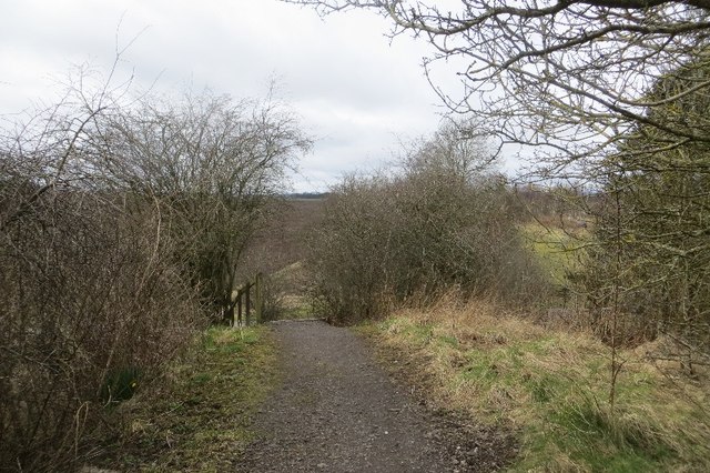
Image: © Richard Webb Taken: 29 Mar 2015
The track bed is now a well surfaced path. The bridge over a road has been dismantled so there are steps up to the former railway. Beyond the road is the junction with the Caledonian Railway's main line through Strathmore which was finally closed in 1982.
Images are licensed for reuse under creativecommons.org/licenses/by-sa/2.0
Image Location
Latitude
56.568254
Longitude
-3.166298