West Fannyside
Introduction
The photograph on this page of West Fannyside by Anne Burgess as part of the Geograph project.
The Geograph project started in 2005 with the aim of publishing, organising and preserving representative images for every square kilometre of Great Britain, Ireland and the Isle of Man.

There are currently over 7.5m images from over 14,400 individuals and you can help contribute to the project by visiting https://www.geograph.org.uk
West Fannyside
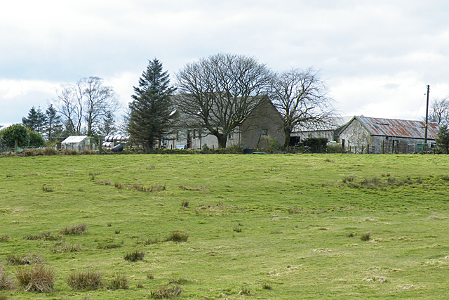
Image: © Anne Burgess Taken: 25 Mar 2015
Although now known as West Fannyside, this farm is named on the second edition of the six-inch map as Rig.
Images are licensed for reuse under creativecommons.org/licenses/by-sa/2.0
Image Location
Latitude
55.934927
Longitude
-3.91193