Ploughed field
Introduction
The photograph on this page of Ploughed field by Robin Webster as part of the Geograph project.
The Geograph project started in 2005 with the aim of publishing, organising and preserving representative images for every square kilometre of Great Britain, Ireland and the Isle of Man.

There are currently over 7.5m images from over 14,400 individuals and you can help contribute to the project by visiting https://www.geograph.org.uk
Ploughed field
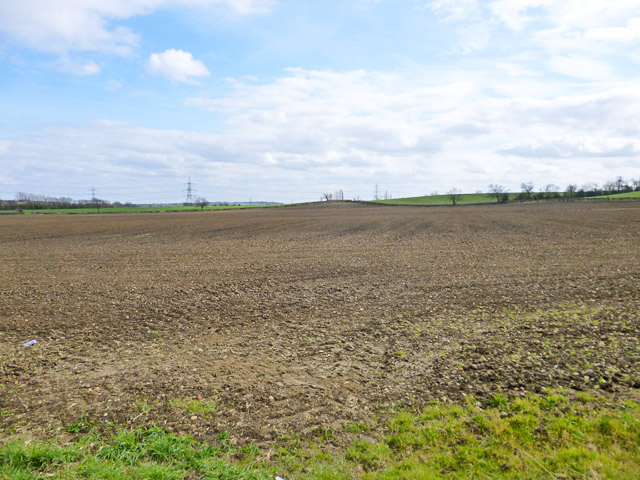
Image: © Robin Webster Taken: 27 Mar 2015
Looking towards Sion Hill farm on the skyline. There should be a public footpath heading somewhat to the left of this direction across the field. There is no clear sign of this so far this year.
Images are licensed for reuse under creativecommons.org/licenses/by-sa/2.0
Image Location
Latitude
51.92582
Longitude
-0.916554