Footpath, East Ayton
Introduction
The photograph on this page of Footpath, East Ayton by Christopher Hall as part of the Geograph project.
The Geograph project started in 2005 with the aim of publishing, organising and preserving representative images for every square kilometre of Great Britain, Ireland and the Isle of Man.

There are currently over 7.5m images from over 14,400 individuals and you can help contribute to the project by visiting https://www.geograph.org.uk
Footpath, East Ayton
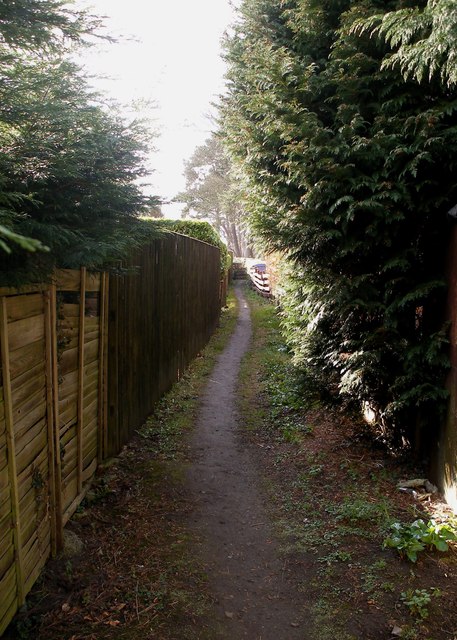
Image: © Christopher Hall Taken: 27 Mar 2015
Flanked by housing development, the footpath links Moor Lane, which the camera is looking towards, with Racecourse Road. There is an old stone stile onto Moor Lane shown in Image
Images are licensed for reuse under creativecommons.org/licenses/by-sa/2.0
Image Location
Latitude
54.252513
Longitude
-0.4789