Houses north of Higham Way, Garforth
Introduction
The photograph on this page of Houses north of Higham Way, Garforth by Christine Johnstone as part of the Geograph project.
The Geograph project started in 2005 with the aim of publishing, organising and preserving representative images for every square kilometre of Great Britain, Ireland and the Isle of Man.

There are currently over 7.5m images from over 14,400 individuals and you can help contribute to the project by visiting https://www.geograph.org.uk
Houses north of Higham Way, Garforth
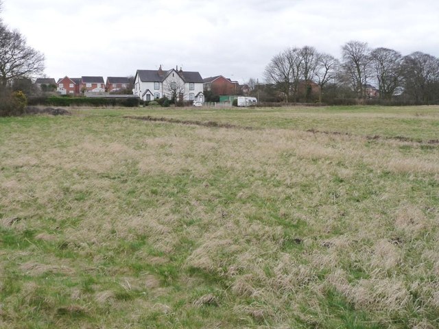
Image: © Christine Johnstone Taken: 27 Mar 2015
Approached from Barwick Road and probably associated with the former Sisters / Garforth Pit [1843 -1922]. The red brick houses in the distance are on Higham Way.
Images are licensed for reuse under creativecommons.org/licenses/by-sa/2.0
Image Location
Latitude
53.798748
Longitude
-1.385238