Disused Quarry, Caverswall
Introduction
The photograph on this page of Disused Quarry, Caverswall by Stu JP as part of the Geograph project.
The Geograph project started in 2005 with the aim of publishing, organising and preserving representative images for every square kilometre of Great Britain, Ireland and the Isle of Man.

There are currently over 7.5m images from over 14,400 individuals and you can help contribute to the project by visiting https://www.geograph.org.uk
Disused Quarry, Caverswall
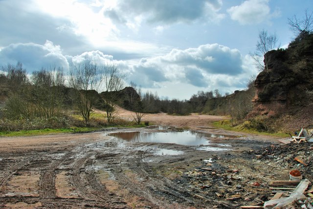
Image: © Stu JP Taken: 27 Mar 2015
Situated between Tickhill Lane and Handley Banks. This area has a barrier to prevent vehicles from entering, as it's a hotspot for fly tippers.
Images are licensed for reuse under creativecommons.org/licenses/by-sa/2.0
Image Location
Latitude
52.995289
Longitude
-2.06447