Path and Information Board in Sevenoaks Common
Introduction
The photograph on this page of Path and Information Board in Sevenoaks Common by David Anstiss as part of the Geograph project.
The Geograph project started in 2005 with the aim of publishing, organising and preserving representative images for every square kilometre of Great Britain, Ireland and the Isle of Man.

There are currently over 7.5m images from over 14,400 individuals and you can help contribute to the project by visiting https://www.geograph.org.uk
Path and Information Board in Sevenoaks Common
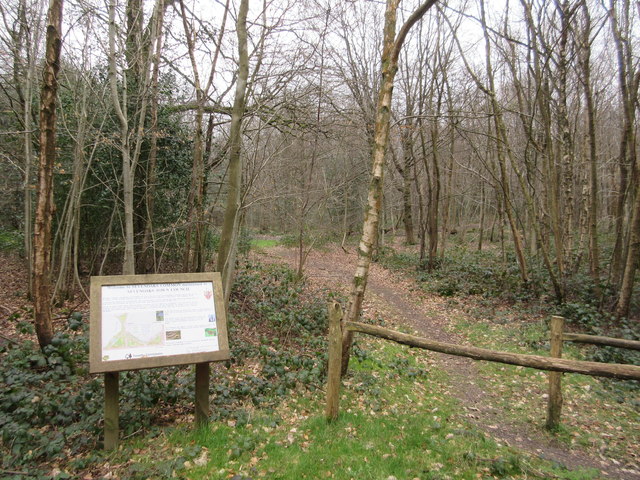
Image: © David Anstiss Taken: 22 Mar 2015
This board is beside Beechwood Road. The path leads towards a permissive bridleway heading through the woodland.
Images are licensed for reuse under creativecommons.org/licenses/by-sa/2.0
Image Location
Latitude
51.251903
Longitude
0.189129