Roadworks, A1014
Introduction
The photograph on this page of Roadworks, A1014 by Robin Webster as part of the Geograph project.
The Geograph project started in 2005 with the aim of publishing, organising and preserving representative images for every square kilometre of Great Britain, Ireland and the Isle of Man.

There are currently over 7.5m images from over 14,400 individuals and you can help contribute to the project by visiting https://www.geograph.org.uk
Roadworks, A1014
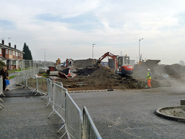
Image: © Robin Webster Taken: 12 Dec 2013
This is work to do with moving the road arrangement and roundabout here. This was part of the building of a new access road down to the marshes and the new port on the site of the former Shell oil refinery.
Images are licensed for reuse under creativecommons.org/licenses/by-sa/2.0
Image Location
Latitude
51.518638
Longitude
0.444064