Former lock keeper's house from New Clyce Bridge, Highbridge
Introduction
The photograph on this page of Former lock keeper's house from New Clyce Bridge, Highbridge by Jaggery as part of the Geograph project.
The Geograph project started in 2005 with the aim of publishing, organising and preserving representative images for every square kilometre of Great Britain, Ireland and the Isle of Man.

There are currently over 7.5m images from over 14,400 individuals and you can help contribute to the project by visiting https://www.geograph.org.uk
Former lock keeper's house from New Clyce Bridge, Highbridge
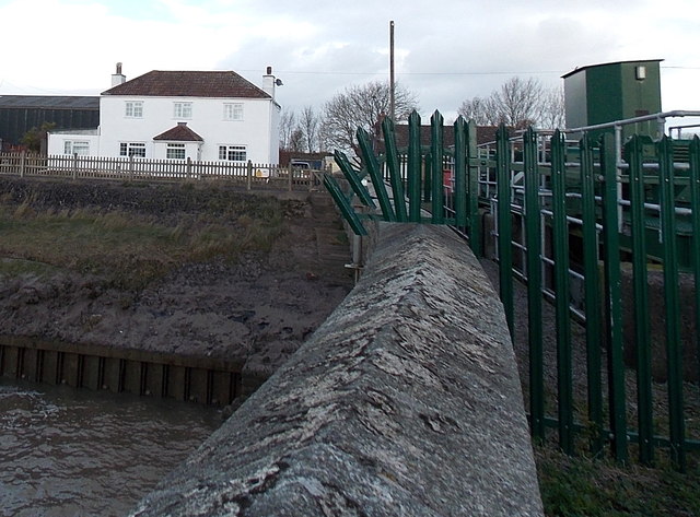
Image: © Jaggery Taken: 10 Dec 2014
One source states that the white house, now 66 Clyce Road, was built in 1806 for the keeper of the New Clyce Bridge lock which controls the flow of the River Brue and blocks the tidal inflow from the Bristol Channel. The lock (clyce is the local word) is now controlled from the Environment Agency compound on the right.
Images are licensed for reuse under creativecommons.org/licenses/by-sa/2.0
Image Location
Latitude
51.220748
Longitude
-2.984666