Rapeseed Farmland
Introduction
The photograph on this page of Rapeseed Farmland by Pam Brophy as part of the Geograph project.
The Geograph project started in 2005 with the aim of publishing, organising and preserving representative images for every square kilometre of Great Britain, Ireland and the Isle of Man.

There are currently over 7.5m images from over 14,400 individuals and you can help contribute to the project by visiting https://www.geograph.org.uk
Rapeseed Farmland
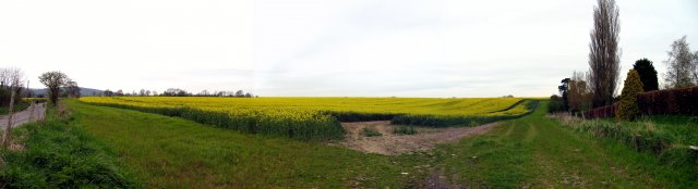
Image: © Pam Brophy Taken: 17 Apr 2005
Situated between West Burton and the Roman Villa, this picture was taken from the north side of the road looking north and west of Hadworth Farm.
Images are licensed for reuse under creativecommons.org/licenses/by-sa/2.0
Image Location


Leaflet Map data © OpenStreetMap
Latitude
50.92139
Longitude
-0.585781