Bristol : Ashley Down Allotments
Introduction
The photograph on this page of Bristol : Ashley Down Allotments by Lewis Clarke as part of the Geograph project.
The Geograph project started in 2005 with the aim of publishing, organising and preserving representative images for every square kilometre of Great Britain, Ireland and the Isle of Man.

There are currently over 7.5m images from over 14,400 individuals and you can help contribute to the project by visiting https://www.geograph.org.uk
Bristol : Ashley Down Allotments
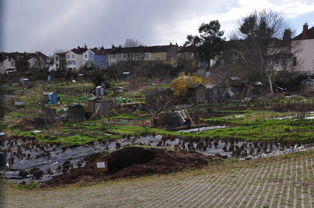
Image: © Lewis Clarke Taken: 24 Mar 2015
This is a well known site, easily visible from Muller Road. The site has both sloping and level plots, and has a water supply. There is water supply and water troughs. The site also has compost bays where council leaves are delivered for tenants use each autumn, and has communal orchard plots.
Images are licensed for reuse under creativecommons.org/licenses/by-sa/2.0
Image Location
Latitude
51.481349
Longitude
-2.577981