Daffodils by the A435
Introduction
The photograph on this page of Daffodils by the A435 by Derek Harper as part of the Geograph project.
The Geograph project started in 2005 with the aim of publishing, organising and preserving representative images for every square kilometre of Great Britain, Ireland and the Isle of Man.

There are currently over 7.5m images from over 14,400 individuals and you can help contribute to the project by visiting https://www.geograph.org.uk
Daffodils by the A435
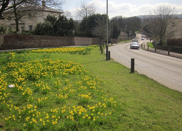
Image: © Derek Harper Taken: 21 Mar 2015
On the green shown in Image], with the A435 Cirencester Road on the right. Langton Lodge, on the left, is listed http://www.britishlistedbuildings.co.uk/en-473997-langton-lodge-charlton-kings-gloucesters , as is its boundary wall http://www.britishlistedbuildings.co.uk/en-473997-langton-lodge-charlton-kings-gloucesters , "a significant streetscape feature".
Images are licensed for reuse under creativecommons.org/licenses/by-sa/2.0
Image Location
Latitude
51.888352
Longitude
-2.057783