A churchyard on a steep wooded hillside ? St Mark?s, Pensnett
Introduction
The photograph on this page of A churchyard on a steep wooded hillside ? St Mark?s, Pensnett by Robin Stott as part of the Geograph project.
The Geograph project started in 2005 with the aim of publishing, organising and preserving representative images for every square kilometre of Great Britain, Ireland and the Isle of Man.

There are currently over 7.5m images from over 14,400 individuals and you can help contribute to the project by visiting https://www.geograph.org.uk
A churchyard on a steep wooded hillside ? St Mark?s, Pensnett
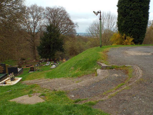
Image: © Robin Stott Taken: 12 Apr 2014
The churchyard is on the southwest side of Barrow Hill, an outcrop of dolerite among coal measures.
Images are licensed for reuse under creativecommons.org/licenses/by-sa/2.0
Image Location


Leaflet Map data © OpenStreetMap
Latitude
52.501982
Longitude
-2.127531