Land drain and fields near North Frodingham
Introduction
The photograph on this page of Land drain and fields near North Frodingham by Paul Harrop as part of the Geograph project.
The Geograph project started in 2005 with the aim of publishing, organising and preserving representative images for every square kilometre of Great Britain, Ireland and the Isle of Man.

There are currently over 7.5m images from over 14,400 individuals and you can help contribute to the project by visiting https://www.geograph.org.uk
Land drain and fields near North Frodingham
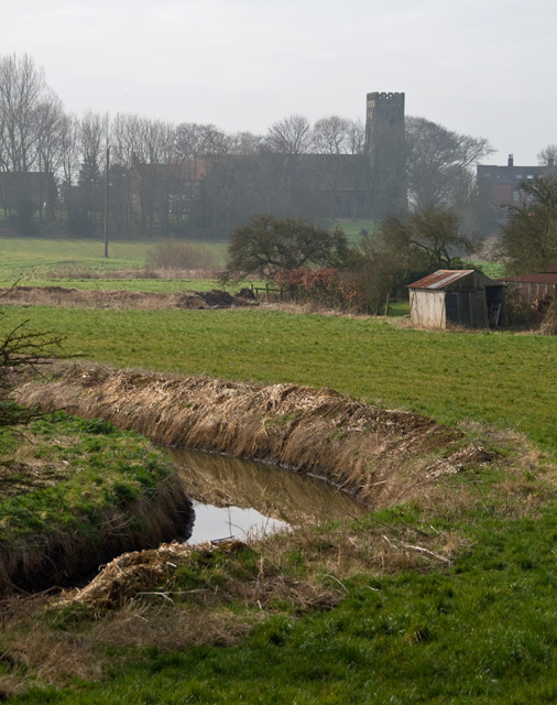
Image: © Paul Harrop Taken: 20 Mar 2015
Looking towards St Elgin's Church from the bank of the Old Howe drain
Images are licensed for reuse under creativecommons.org/licenses/by-sa/2.0
Image Location
Latitude
53.96717
Longitude
-0.339452