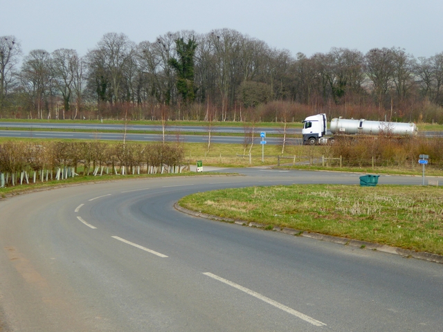
Western end of the Temple Sowerby Bypass
Introduction
The photograph on this page of Western end of the Temple Sowerby Bypass by Oliver Dixon as part of the Geograph project.
The Geograph project started in 2005 with the aim of publishing, organising and preserving representative images for every square kilometre of Great Britain, Ireland and the Isle of Man.
There are currently over 7.5m images from over 14,400 individuals and you can help contribute to the project by visiting https://www.geograph.org.uk

Image: © Oliver Dixon Taken: 18 Mar 2015
The Temple Sowerby by-pass was opened in 2007, allowing traffic along the busy A66 to by-pass the village. The minor road in the foreground is the road from Cliburn and there are exits from and ways on to both carriageways of the by-pass.The blue signage indicates a slightly shorter route for cyclists bound for Penrith to join the main road. But any cyclist following the signs should beware. 300 metres to the west of this point, the separate cycle track merges with the main traffic onto a 7 km length of very busy fast single carriageway road all the way to Penrith - massive irresponsibility on the part of the Highway Agency.

