Oxford Street, Swindon
Introduction
The photograph on this page of Oxford Street, Swindon by Jaggery as part of the Geograph project.
The Geograph project started in 2005 with the aim of publishing, organising and preserving representative images for every square kilometre of Great Britain, Ireland and the Isle of Man.

There are currently over 7.5m images from over 14,400 individuals and you can help contribute to the project by visiting https://www.geograph.org.uk
Oxford Street, Swindon
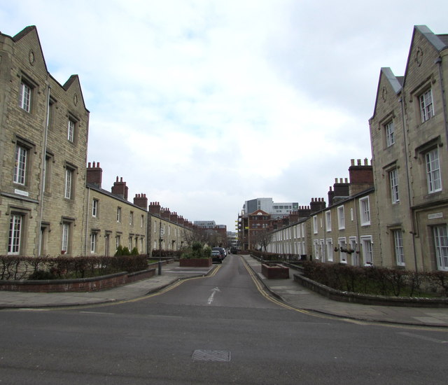
Image: © Jaggery Taken: 15 Mar 2015
From Emlyn Square looking towards East Street. Oxford Street is part of the Railway Village built by the Great Western Railway in the mid 19th century to house its employees near its main railway works.
Images are licensed for reuse under creativecommons.org/licenses/by-sa/2.0
Image Location
Latitude
51.562609
Longitude
-1.789333