Canal at Thamesmead West
Introduction
The photograph on this page of Canal at Thamesmead West by Marathon as part of the Geograph project.
The Geograph project started in 2005 with the aim of publishing, organising and preserving representative images for every square kilometre of Great Britain, Ireland and the Isle of Man.

There are currently over 7.5m images from over 14,400 individuals and you can help contribute to the project by visiting https://www.geograph.org.uk
Canal at Thamesmead West
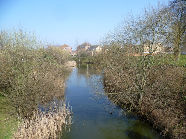
Image: © Marathon Taken: 20 Mar 2015
Thamesmead West was built from the 1990s onwards, and is a significant distance from the original development of Thamesmead from the late 1960s onwards. The landscaped canals here come from the time that this was part of Plumstead Marshes.
Images are licensed for reuse under creativecommons.org/licenses/by-sa/2.0
Image Location
Latitude
51.499508
Longitude
0.089166