Road at Lower Exe
Introduction
The photograph on this page of Road at Lower Exe by Derek Harper as part of the Geograph project.
The Geograph project started in 2005 with the aim of publishing, organising and preserving representative images for every square kilometre of Great Britain, Ireland and the Isle of Man.

There are currently over 7.5m images from over 14,400 individuals and you can help contribute to the project by visiting https://www.geograph.org.uk
Road at Lower Exe
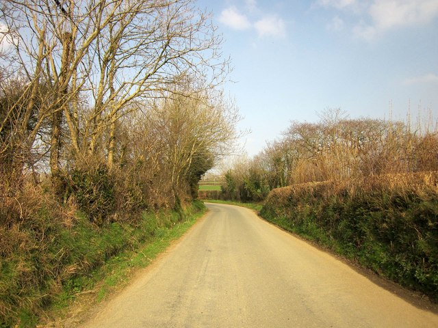
Image: © Derek Harper Taken: 18 Mar 2015
Cutting across the south-east corner of the square, and here bending to run past the farm and bungalow shown in Image and Image
Images are licensed for reuse under creativecommons.org/licenses/by-sa/2.0
Image Location
Latitude
50.718537
Longitude
-4.524355