Bridle Path Warning
Introduction
The photograph on this page of Bridle Path Warning by Geoff Evans as part of the Geograph project.
The Geograph project started in 2005 with the aim of publishing, organising and preserving representative images for every square kilometre of Great Britain, Ireland and the Isle of Man.

There are currently over 7.5m images from over 14,400 individuals and you can help contribute to the project by visiting https://www.geograph.org.uk
Bridle Path Warning
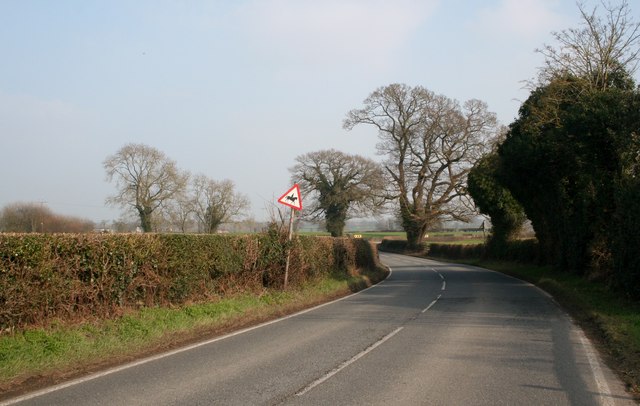
Image: © Geoff Evans Taken: 19 Mar 2015
The sign for the upcoming bridle path was barely discernible on this fairly busy and quick main road.
Images are licensed for reuse under creativecommons.org/licenses/by-sa/2.0
Image Location
Latitude
52.965842
Longitude
-2.921874