Blossom on Green Lanes
Introduction
The photograph on this page of Blossom on Green Lanes by Marathon as part of the Geograph project.
The Geograph project started in 2005 with the aim of publishing, organising and preserving representative images for every square kilometre of Great Britain, Ireland and the Isle of Man.

There are currently over 7.5m images from over 14,400 individuals and you can help contribute to the project by visiting https://www.geograph.org.uk
Blossom on Green Lanes
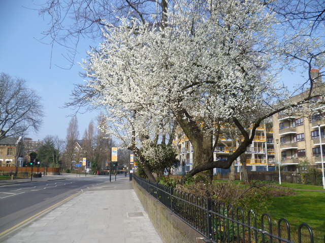
Image: © Marathon Taken: 18 Mar 2015
Green Lanes is an ancient thoroughfare which was originally a drovers' road along which cattle were walked from Hertfordshire towards Smithfield Market. It is plural because it was originally a number of lanes. This is just past Clissold Park, looking in the direction of Manor House and Finsbury Park.
Images are licensed for reuse under creativecommons.org/licenses/by-sa/2.0
Image Location
Latitude
51.566474
Longitude
-0.093901