Farmland east of Middleton Stoney
Introduction
The photograph on this page of Farmland east of Middleton Stoney by Stephen McKay as part of the Geograph project.
The Geograph project started in 2005 with the aim of publishing, organising and preserving representative images for every square kilometre of Great Britain, Ireland and the Isle of Man.

There are currently over 7.5m images from over 14,400 individuals and you can help contribute to the project by visiting https://www.geograph.org.uk
Farmland east of Middleton Stoney
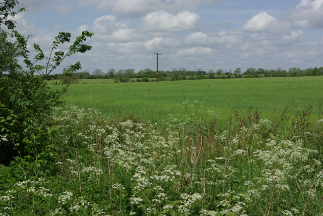
Image: © Stephen McKay Taken: 20 May 2007
Farmland north of the B4030 Bicester - Enstone road.
Images are licensed for reuse under creativecommons.org/licenses/by-sa/2.0
Image Location


Leaflet Map data © OpenStreetMap
Latitude
51.905147
Longitude
-1.198175