Junction, Brazacott
Introduction
The photograph on this page of Junction, Brazacott by Derek Harper as part of the Geograph project.
The Geograph project started in 2005 with the aim of publishing, organising and preserving representative images for every square kilometre of Great Britain, Ireland and the Isle of Man.

There are currently over 7.5m images from over 14,400 individuals and you can help contribute to the project by visiting https://www.geograph.org.uk
Junction, Brazacott
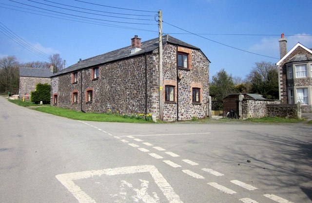
Image: © Derek Harper Taken: 18 Mar 2015
Solid stone buildings in this hamlet which, as the foreground sign on the road shows, possesses a fully functioning primary school. Tucked away out of sight behind the house on the right is a disused listed farmhouse http://list.historicengland.org.uk/resultsingle.aspx?uid=1160475&searchtype=mapsearch .
Images are licensed for reuse under creativecommons.org/licenses/by-sa/2.0
Image Location
Latitude
50.693548
Longitude
-4.456317