Oilseed rape crop, near Cerney Wick
Introduction
The photograph on this page of Oilseed rape crop, near Cerney Wick by Brian Robert Marshall as part of the Geograph project.
The Geograph project started in 2005 with the aim of publishing, organising and preserving representative images for every square kilometre of Great Britain, Ireland and the Isle of Man.

There are currently over 7.5m images from over 14,400 individuals and you can help contribute to the project by visiting https://www.geograph.org.uk
Oilseed rape crop, near Cerney Wick
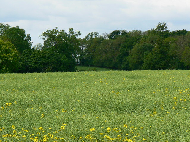
Image: © Brian Robert Marshall Taken: 20 May 2007
The crop takes up the foreground of this image. There are only a few flowers left and the seed pods are now forming. The woodland beyond is divided into 'Vines Brake' to the right and 'Dukes Brake'. The clear space between the two can be seen in the centre of the image.
Images are licensed for reuse under creativecommons.org/licenses/by-sa/2.0
Image Location
Latitude
51.677918
Longitude
-1.88295