Upper Pontnewydd railway station (site), Gwent
Introduction
The photograph on this page of Upper Pontnewydd railway station (site), Gwent by Nigel Thompson as part of the Geograph project.
The Geograph project started in 2005 with the aim of publishing, organising and preserving representative images for every square kilometre of Great Britain, Ireland and the Isle of Man.

There are currently over 7.5m images from over 14,400 individuals and you can help contribute to the project by visiting https://www.geograph.org.uk
Upper Pontnewydd railway station (site), Gwent
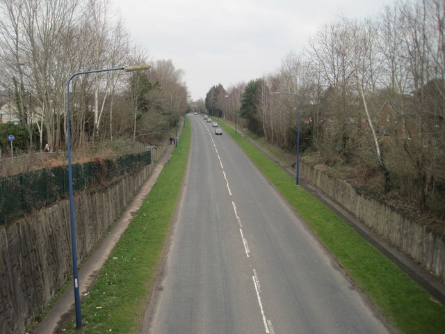
Image: © Nigel Thompson Taken: 14 Mar 2015
Opened in 1852 by the Monmouthshire Railway, later part of the Great Western Railway, on its line from Newport to Pontypool (Crane Street) and Blaenavon, this station closed to passengers in 1962 and completely in 1969. View north towards Pontrhydyrun and Pontypool. The site has been lost due to construction of the A4051 road.
Images are licensed for reuse under creativecommons.org/licenses/by-sa/2.0
Image Location
Latitude
51.661191
Longitude
-3.024114