Jennings Street, Swindon
Introduction
The photograph on this page of Jennings Street, Swindon by Jaggery as part of the Geograph project.
The Geograph project started in 2005 with the aim of publishing, organising and preserving representative images for every square kilometre of Great Britain, Ireland and the Isle of Man.

There are currently over 7.5m images from over 14,400 individuals and you can help contribute to the project by visiting https://www.geograph.org.uk
Jennings Street, Swindon
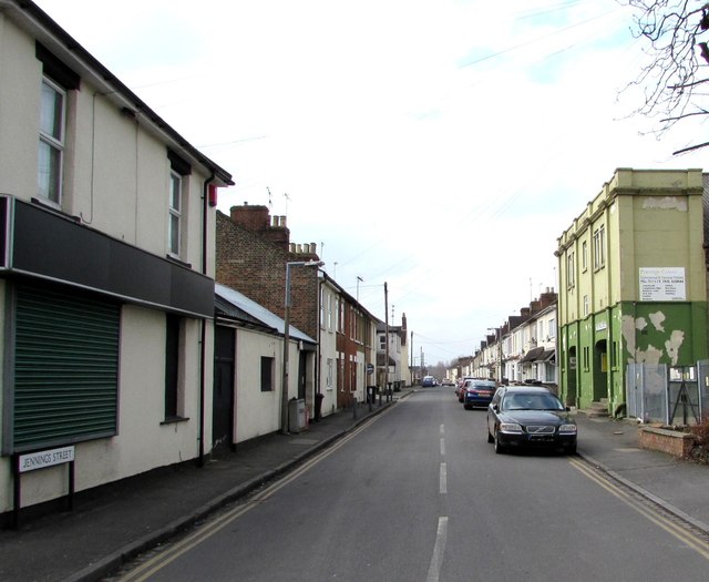
Image: © Jaggery Taken: 15 Mar 2015
Looking SW from the Rodbourne Road end. The former Palladium Cinema http://www.geograph.org.uk/photo/4386223 is on the right.
Images are licensed for reuse under creativecommons.org/licenses/by-sa/2.0
Image Location
Latitude
51.563978
Longitude
-1.800868