Burton Mead Drove
Introduction
The photograph on this page of Burton Mead Drove by Derek Harper as part of the Geograph project.
The Geograph project started in 2005 with the aim of publishing, organising and preserving representative images for every square kilometre of Great Britain, Ireland and the Isle of Man.

There are currently over 7.5m images from over 14,400 individuals and you can help contribute to the project by visiting https://www.geograph.org.uk
Burton Mead Drove
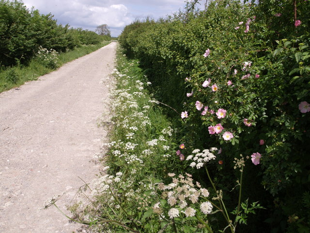
Image: © Derek Harper Taken: 19 May 2007
May roses brighten this somewhat dusty bridleway north of the River Isle, as it approaches the junction in the distance with Moortown Lane.
Images are licensed for reuse under creativecommons.org/licenses/by-sa/2.0
Image Location


Leaflet Map data © OpenStreetMap
Latitude
51.003677
Longitude
-2.882861