Bridleway and radar domes
Introduction
The photograph on this page of Bridleway and radar domes by Jonathan Thacker as part of the Geograph project.
The Geograph project started in 2005 with the aim of publishing, organising and preserving representative images for every square kilometre of Great Britain, Ireland and the Isle of Man.

There are currently over 7.5m images from over 14,400 individuals and you can help contribute to the project by visiting https://www.geograph.org.uk
Bridleway and radar domes
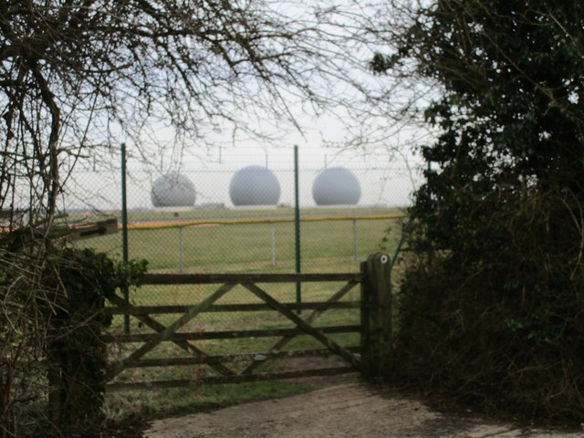
Image: © Jonathan Thacker Taken: 12 Mar 2015
The bridleway runs parallel to the road behind the hedge. The radar domes are part of RAF Croughton which hosts the 442rd Air Base Group of the United States Air Force.
Images are licensed for reuse under creativecommons.org/licenses/by-sa/2.0
Image Location
Latitude
51.987441
Longitude
-1.188843