Windmill Road from the M4
Introduction
The photograph on this page of Windmill Road from the M4 by Derek Harper as part of the Geograph project.
The Geograph project started in 2005 with the aim of publishing, organising and preserving representative images for every square kilometre of Great Britain, Ireland and the Isle of Man.

There are currently over 7.5m images from over 14,400 individuals and you can help contribute to the project by visiting https://www.geograph.org.uk
Windmill Road from the M4
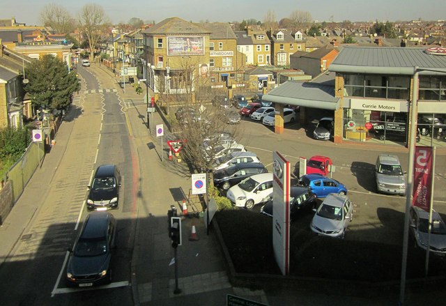
Image: © Derek Harper Taken: 11 Mar 2015
The B452 northwards from the flyover, with the junction with Eastbourne Road and car sales premises on the right.
Images are licensed for reuse under creativecommons.org/licenses/by-sa/2.0
Image Location
Latitude
51.490464
Longitude
-0.309399