How Lane opposite the entrance to Chipstead Golf Club
Introduction
The photograph on this page of How Lane opposite the entrance to Chipstead Golf Club by David Martin as part of the Geograph project.
The Geograph project started in 2005 with the aim of publishing, organising and preserving representative images for every square kilometre of Great Britain, Ireland and the Isle of Man.

There are currently over 7.5m images from over 14,400 individuals and you can help contribute to the project by visiting https://www.geograph.org.uk
How Lane opposite the entrance to Chipstead Golf Club
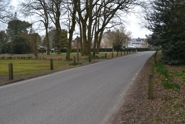
Image: © David Martin Taken: 14 Mar 2015
The footpath marked by the post on the opposite side of the road crosses the golf course to Chipstead Station.
Images are licensed for reuse under creativecommons.org/licenses/by-sa/2.0
Image Location
Latitude
51.306641
Longitude
-0.164945