The houses of Park Wood seen from Brishing Road
Introduction
The photograph on this page of The houses of Park Wood seen from Brishing Road by Marathon as part of the Geograph project.
The Geograph project started in 2005 with the aim of publishing, organising and preserving representative images for every square kilometre of Great Britain, Ireland and the Isle of Man.

There are currently over 7.5m images from over 14,400 individuals and you can help contribute to the project by visiting https://www.geograph.org.uk
The houses of Park Wood seen from Brishing Road
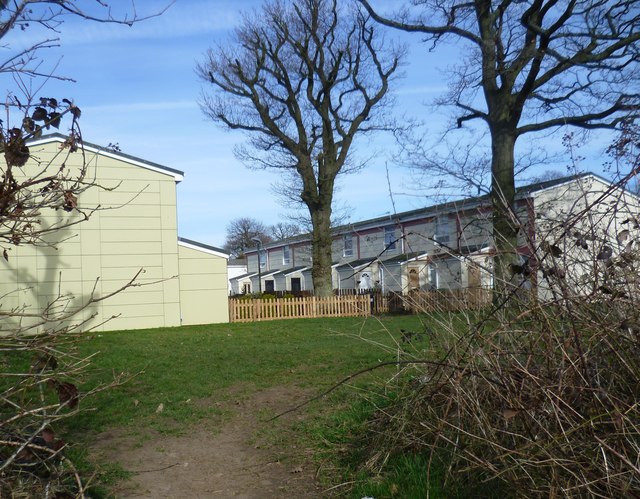
Image: © Marathon Taken: 12 Mar 2015
This is the very edge of the built-up area of Maidstone. The suburb of Park Wood is ahead while the fields of Mount Pleasant Farm are behind where I am standing, on the opposite side of Brishing Road. See also http://www.geograph.org.uk/photo/4383320
Images are licensed for reuse under creativecommons.org/licenses/by-sa/2.0
Image Location
Latitude
51.235667
Longitude
0.555249