Workhouse Lane, Coxheath
Introduction
The photograph on this page of Workhouse Lane, Coxheath by Marathon as part of the Geograph project.
The Geograph project started in 2005 with the aim of publishing, organising and preserving representative images for every square kilometre of Great Britain, Ireland and the Isle of Man.

There are currently over 7.5m images from over 14,400 individuals and you can help contribute to the project by visiting https://www.geograph.org.uk
Workhouse Lane, Coxheath
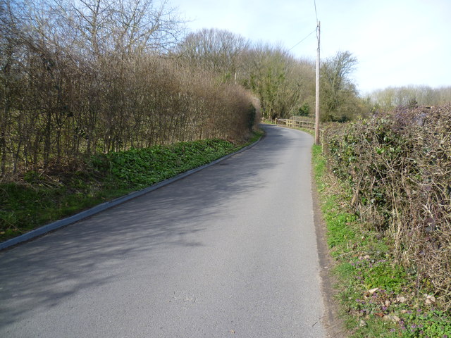
Image: © Marathon Taken: 12 Mar 2015
Workhouse Lane takes its name from the old workhouse of the Coxheath Poor Law Union which was originally built in 1771 and lasted until 1838 when a new workhouse was built which lasted from 1828 until 1929 on the site of what later became Linton Hospital. For more information see http://www.coxheath.net/?pageid=44 and http://archiver.rootsweb.ancestry.com/th/read/UK-WORKHOUSE-HOSP/2000-10/0971562334 Here, Hamlet Wood is ahead, beyond the bend.
Images are licensed for reuse under creativecommons.org/licenses/by-sa/2.0
Image Location
Latitude
51.239248
Longitude
0.497707