Climping Close, Haywards Heath
Introduction
The photograph on this page of Climping Close, Haywards Heath by Simon Carey as part of the Geograph project.
The Geograph project started in 2005 with the aim of publishing, organising and preserving representative images for every square kilometre of Great Britain, Ireland and the Isle of Man.

There are currently over 7.5m images from over 14,400 individuals and you can help contribute to the project by visiting https://www.geograph.org.uk
Climping Close, Haywards Heath
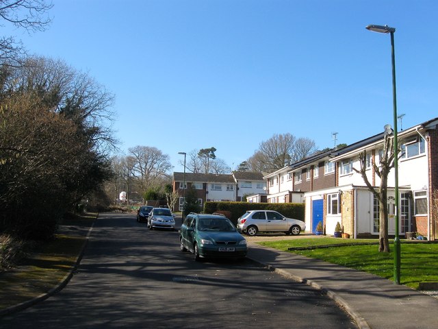
Image: © Simon Carey Taken: 7 Mar 2015
A cul de sac off Wealden Way that was built in the 1970s on a former field called Lower Meadow, according to Cuckfield's 1843 tithe map, that had once belonged to Great Haywards Farm. To the south is Image which is in the process of being built on as part of the bolnore village development.
Images are licensed for reuse under creativecommons.org/licenses/by-sa/2.0
Image Location
Latitude
50.995526
Longitude
-0.111121