Hittisleigh Barton
Introduction
The photograph on this page of Hittisleigh Barton by Derek Harper as part of the Geograph project.
The Geograph project started in 2005 with the aim of publishing, organising and preserving representative images for every square kilometre of Great Britain, Ireland and the Isle of Man.

There are currently over 7.5m images from over 14,400 individuals and you can help contribute to the project by visiting https://www.geograph.org.uk
Hittisleigh Barton
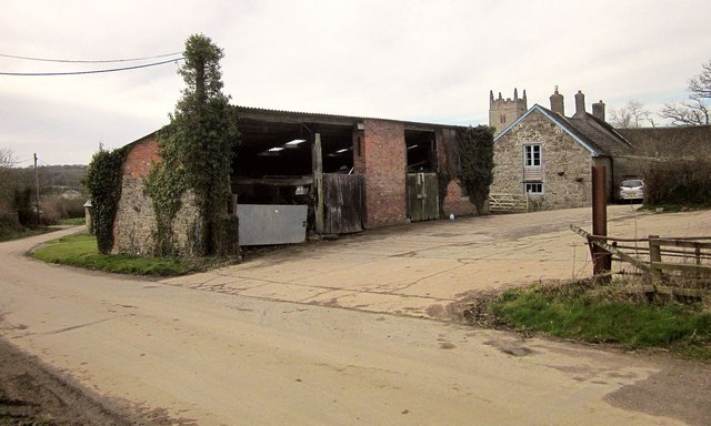
Image: © Derek Harper Taken: 10 Mar 2015
The farmhouse, to the right of the barn, has C16 origins http://list.english-heritage.org.uk/resultsingle.aspx?uid=1258508&searchtype=mapsearch . Behind it can be seen the tower of the church.
Images are licensed for reuse under creativecommons.org/licenses/by-sa/2.0
Image Location
Latitude
50.74473
Longitude
-3.795318