Field, Hittisleigh
Introduction
The photograph on this page of Field, Hittisleigh by Derek Harper as part of the Geograph project.
The Geograph project started in 2005 with the aim of publishing, organising and preserving representative images for every square kilometre of Great Britain, Ireland and the Isle of Man.

There are currently over 7.5m images from over 14,400 individuals and you can help contribute to the project by visiting https://www.geograph.org.uk
Field, Hittisleigh
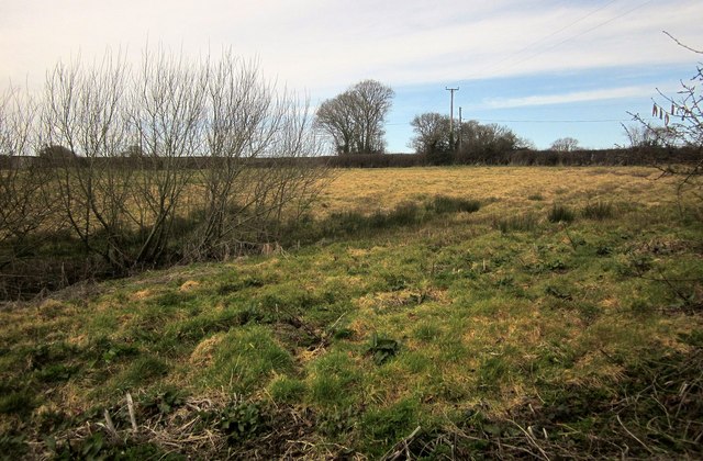
Image: © Derek Harper Taken: 10 Mar 2015
From Newhouse Lane on the Two Moors Way, with what looks like the source of one of the headwaters of a tributary of the River Yeo a few metres away. Across the field is a hedge bordering the lane to Whiddon Down.
Images are licensed for reuse under creativecommons.org/licenses/by-sa/2.0
Image Location
Latitude
50.739716
Longitude
-3.799662