Clea Lakes (western end)
Introduction
The photograph on this page of Clea Lakes (western end) by Oliver Dixon as part of the Geograph project.
The Geograph project started in 2005 with the aim of publishing, organising and preserving representative images for every square kilometre of Great Britain, Ireland and the Isle of Man.

There are currently over 7.5m images from over 14,400 individuals and you can help contribute to the project by visiting https://www.geograph.org.uk
Clea Lakes (western end)
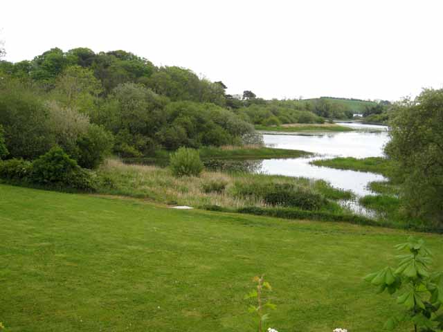
Image: © Oliver Dixon Taken: 11 May 2007
The western end of a series of interconnected lakes a short way outside Killyleagh. There are a large number of small loughs in the country to the west of Strangford Lough.
Images are licensed for reuse under creativecommons.org/licenses/by-sa/2.0
Image Location
Latitude
54.422275
Longitude
-5.686664