Farmland to the east of Much Marcle
Introduction
The photograph on this page of Farmland to the east of Much Marcle by Philip Halling as part of the Geograph project.
The Geograph project started in 2005 with the aim of publishing, organising and preserving representative images for every square kilometre of Great Britain, Ireland and the Isle of Man.

There are currently over 7.5m images from over 14,400 individuals and you can help contribute to the project by visiting https://www.geograph.org.uk
Farmland to the east of Much Marcle
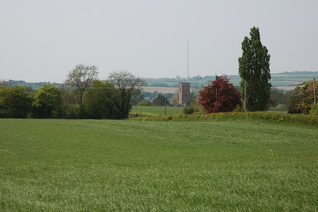
Image: © Philip Halling Taken: 29 Apr 2007
The tower of Much Marcle church can be seen in the middle distance, beyond on the horizon is the transmitter on Ridge Hill.
Images are licensed for reuse under creativecommons.org/licenses/by-sa/2.0
Image Location


Leaflet Map data © OpenStreetMap
Latitude
51.988758
Longitude
-2.491001