Descent to Gorwell Farm
Introduction
The photograph on this page of Descent to Gorwell Farm by Graham Horn as part of the Geograph project.
The Geograph project started in 2005 with the aim of publishing, organising and preserving representative images for every square kilometre of Great Britain, Ireland and the Isle of Man.

There are currently over 7.5m images from over 14,400 individuals and you can help contribute to the project by visiting https://www.geograph.org.uk
Descent to Gorwell Farm
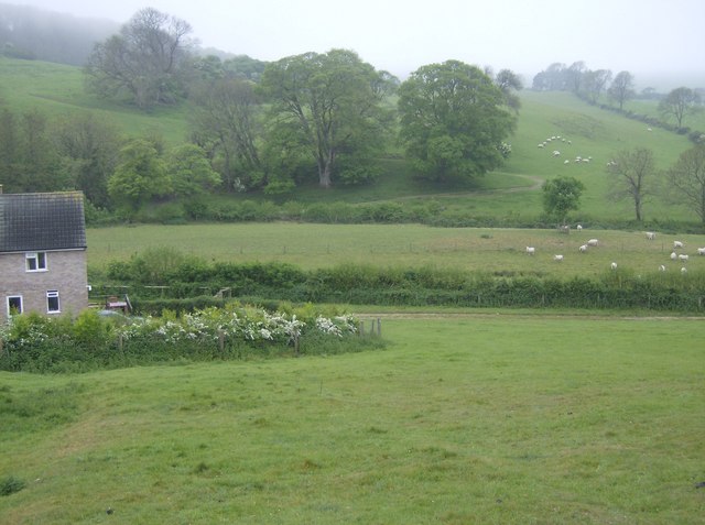
Image: © Graham Horn Taken: 7 May 2007
In Dorset, what comes down must go up. So down from one ridge, and another appears ahead, despite being only two miles from the sea.
Images are licensed for reuse under creativecommons.org/licenses/by-sa/2.0
Image Location
Latitude
50.683789
Longitude
-2.603793