Marsh between Carrigullian Lough and Heron Lough
Introduction
The photograph on this page of Marsh between Carrigullian Lough and Heron Lough by Oliver Dixon as part of the Geograph project.
The Geograph project started in 2005 with the aim of publishing, organising and preserving representative images for every square kilometre of Great Britain, Ireland and the Isle of Man.

There are currently over 7.5m images from over 14,400 individuals and you can help contribute to the project by visiting https://www.geograph.org.uk
Marsh between Carrigullian Lough and Heron Lough
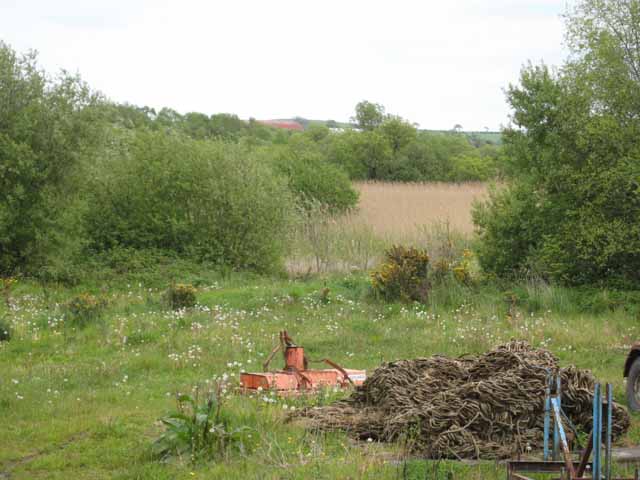
Image: © Oliver Dixon Taken: 11 May 2007
There are many small loughs in the countryside to the west of Strangford Lough. From the road, it does not appear possible to catch a glimpse of either Carrigullian Lough or Heron Lough (despite a nearby house being named "Lough View"), but the two loughs are obviously surrounded by extensive marshes.
Images are licensed for reuse under creativecommons.org/licenses/by-sa/2.0
Image Location


Leaflet Map data © OpenStreetMap
Latitude
54.45297
Longitude
-5.694185