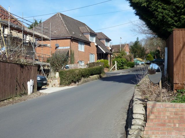
GPSS pipeline crossing point, Woolhampton Hill
Introduction
The photograph on this page of GPSS pipeline crossing point, Woolhampton Hill by Robin Webster as part of the Geograph project.
The Geograph project started in 2005 with the aim of publishing, organising and preserving representative images for every square kilometre of Great Britain, Ireland and the Isle of Man.
There are currently over 7.5m images from over 14,400 individuals and you can help contribute to the project by visiting https://www.geograph.org.uk

Image: © Robin Webster Taken: 7 Mar 2015
The two markers on the left and the white post on the right mark the crossing for the light oil products line. The Government Pipeline and Storage System has a route running closely parallel to the A4 for some distance. At settlements it usually deviates, to loop around the housing along the road as it was when installed around WWII. Here it appears to have done that, but more recent development has meant it runs under the back gardens of houses on Orchard Close to the right. On the left it must be quite a tight squeeze between the housing.

