Old Course of Rocky Lane
Introduction
The photograph on this page of Old Course of Rocky Lane by Simon Carey as part of the Geograph project.
The Geograph project started in 2005 with the aim of publishing, organising and preserving representative images for every square kilometre of Great Britain, Ireland and the Isle of Man.

There are currently over 7.5m images from over 14,400 individuals and you can help contribute to the project by visiting https://www.geograph.org.uk
Old Course of Rocky Lane
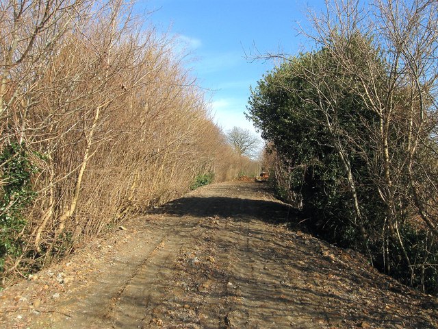
Image: © Simon Carey Taken: 7 Mar 2015
The old narrow section that ran south westwards from Image has now been removed and is supposed to be developed into pedestrian and cycle access to the southern end of Bolnore Village.
Images are licensed for reuse under creativecommons.org/licenses/by-sa/2.0
Image Location
Latitude
50.985227
Longitude
-0.113818