Venley Lane
Introduction
The photograph on this page of Venley Lane by Nigel Mykura as part of the Geograph project.
The Geograph project started in 2005 with the aim of publishing, organising and preserving representative images for every square kilometre of Great Britain, Ireland and the Isle of Man.

There are currently over 7.5m images from over 14,400 individuals and you can help contribute to the project by visiting https://www.geograph.org.uk
Venley Lane
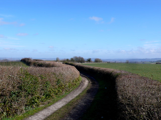
Image: © Nigel Mykura Taken: 6 Mar 2015
This track starts in the very extreme north western corner of the grid square crossing over into ST4109 after about 100 metres.
Images are licensed for reuse under creativecommons.org/licenses/by-sa/2.0
Image Location


Leaflet Map data © OpenStreetMap
Latitude
50.877303
Longitude
-2.837972