Rectory Close, Radyr, Cardiff
Introduction
The photograph on this page of Rectory Close, Radyr, Cardiff by Jaggery as part of the Geograph project.
The Geograph project started in 2005 with the aim of publishing, organising and preserving representative images for every square kilometre of Great Britain, Ireland and the Isle of Man.

There are currently over 7.5m images from over 14,400 individuals and you can help contribute to the project by visiting https://www.geograph.org.uk
Rectory Close, Radyr, Cardiff
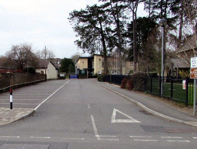
Image: © Jaggery Taken: 5 Mar 2015
Rectory Close leads from the B4262 Heol Isaf to Radyr Medical Centre http://www.geograph.org.uk/photo/4372450 on the right and Radyr Lawn Tennis Club http://www.geograph.org.uk/photo/4372449 on the left. The southern edge of Christ Church http://www.geograph.org.uk/photo/2179871 is on the right.
Images are licensed for reuse under creativecommons.org/licenses/by-sa/2.0
Image Location
Latitude
51.513405
Longitude
-3.251948