Looking towards Grange Farm at Birthorpe
Introduction
The photograph on this page of Looking towards Grange Farm at Birthorpe by Marathon as part of the Geograph project.
The Geograph project started in 2005 with the aim of publishing, organising and preserving representative images for every square kilometre of Great Britain, Ireland and the Isle of Man.

There are currently over 7.5m images from over 14,400 individuals and you can help contribute to the project by visiting https://www.geograph.org.uk
Looking towards Grange Farm at Birthorpe
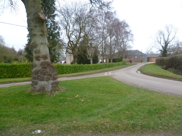
Image: © Marathon Taken: 1 Mar 2015
There was a substantial manor at Birthorpe, well before 1300. The family who owned it took their name from the village. The present Birthorpe Manor dates from the mid 17th century, with parts from the mid 18th century and the late 19th century. Birthorpe itself is regarded as a shrunken medieval village. This small triangular green is at the centre of the village. This view looks down Oseby Lane towards Grange Farm.
Images are licensed for reuse under creativecommons.org/licenses/by-sa/2.0
Image Location
Latitude
52.890598
Longitude
-0.360526