Barn, Browda
Introduction
The photograph on this page of Barn, Browda by Derek Harper as part of the Geograph project.
The Geograph project started in 2005 with the aim of publishing, organising and preserving representative images for every square kilometre of Great Britain, Ireland and the Isle of Man.

There are currently over 7.5m images from over 14,400 individuals and you can help contribute to the project by visiting https://www.geograph.org.uk
Barn, Browda
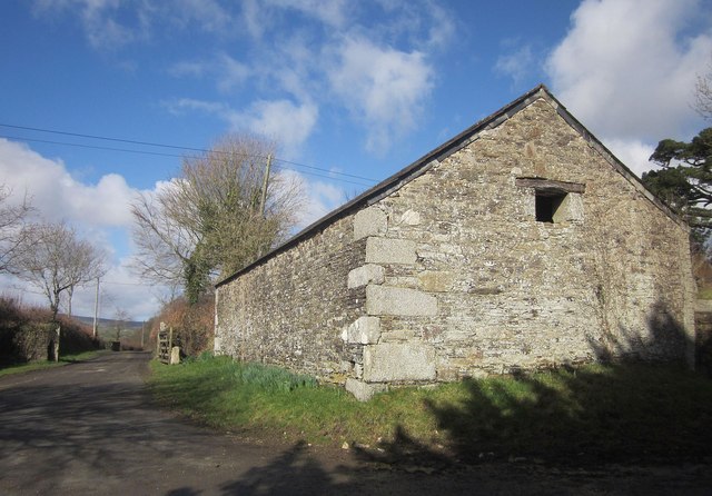
Image: © Derek Harper Taken: 4 Mar 2015
Some impressive rocks have been incorporated into this barn as quoins. The lane leads to Plushabridge.
Images are licensed for reuse under creativecommons.org/licenses/by-sa/2.0
Image Location


Leaflet Map data © OpenStreetMap
Latitude
50.522926
Longitude
-4.387057