Newcastle-under-Lyme: path between Palmers Way and Palmers Green
Introduction
The photograph on this page of Newcastle-under-Lyme: path between Palmers Way and Palmers Green by Jonathan Hutchins as part of the Geograph project.
The Geograph project started in 2005 with the aim of publishing, organising and preserving representative images for every square kilometre of Great Britain, Ireland and the Isle of Man.

There are currently over 7.5m images from over 14,400 individuals and you can help contribute to the project by visiting https://www.geograph.org.uk
Newcastle-under-Lyme: path between Palmers Way and Palmers Green
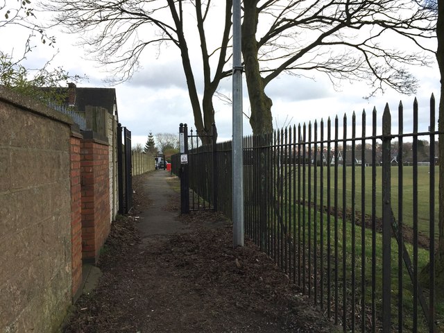
Image: © Jonathan Hutchins Taken: 4 Mar 2015
The narrow white sign on the metal gatepost indicates that for reasons of safety, to benefit the residents of Palmers Green, this stretch of the path is closed and locked overnight.
Images are licensed for reuse under creativecommons.org/licenses/by-sa/2.0
Image Location
Latitude
53.009496
Longitude
-2.214423